Perception & object tracking.
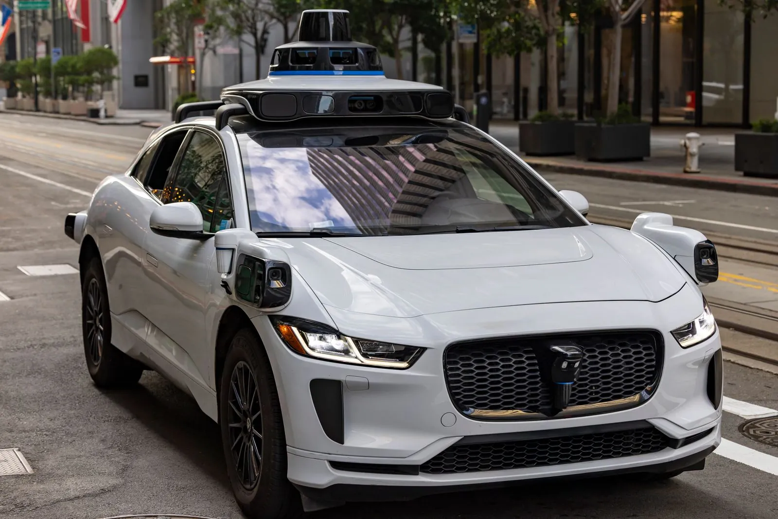
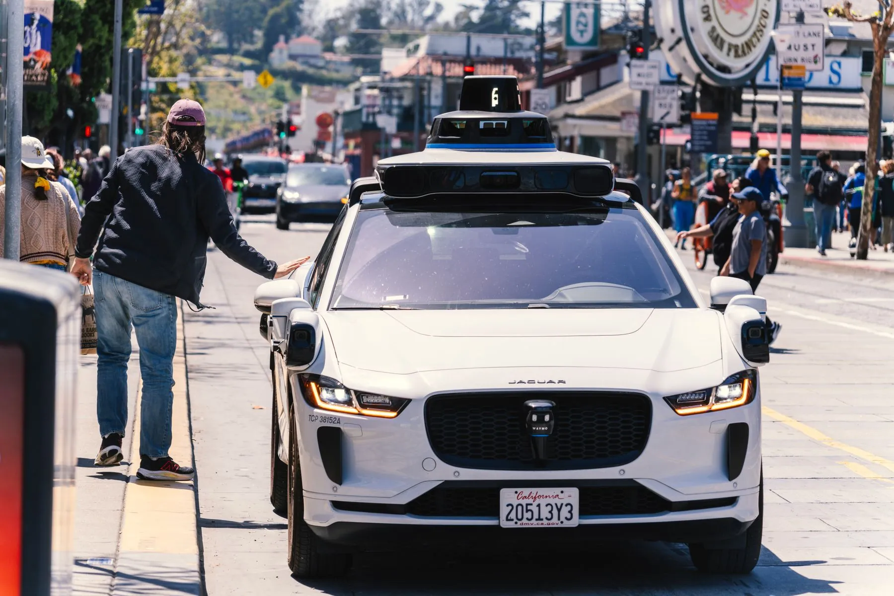
The core of Drivora. Sensors capture the scene, our models fuse it into a single live picture, and every road user around the vehicle is detected, classified and tracked — fifteen times a second.
Three steps, from photons to a plan.
1 · Sense
Cameras see colour and signs, lidar measures exact distance, radar sees speed through rain and dark.
2 · Fuse & detect
Vision models combine all three into one 3D scene and pick out every object in it.
3 · Track & hand off
Each object gets an ID, a path and a predicted next move — passed to the planner in milliseconds.
Everything that shares the road — early.
The earlier an object is seen and understood, the calmer the response can be.
Vulnerable road users
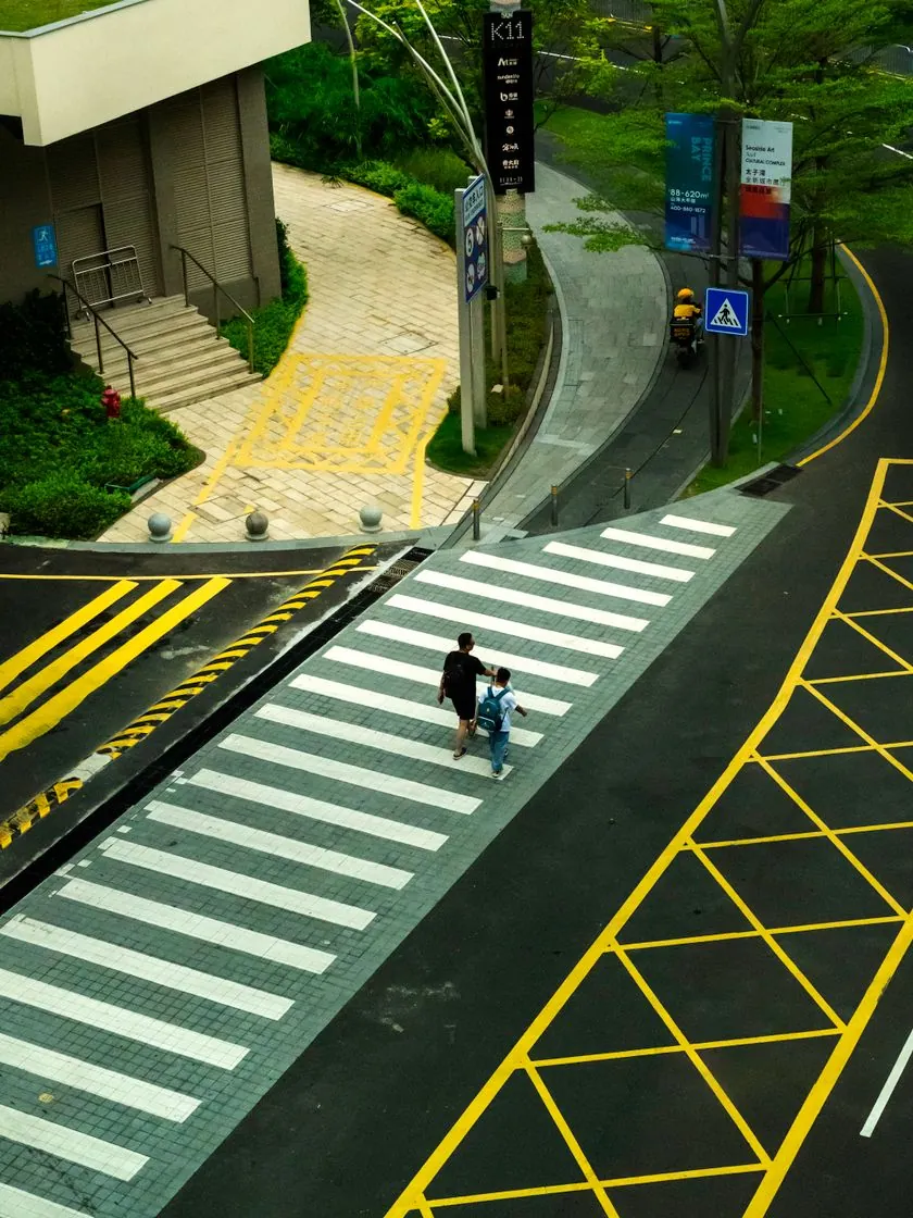
Pedestrians, cyclists, scooters and wheelchairs — including partly hidden ones.
Vehicles
Cars, buses, trucks and motorbikes, with heading and speed for each.
Road layout
Lanes, kerbs, crossings, signals and signs — checked live against the map.
Hazards & conditions
Debris, cones, roadworks, and rain or glare that reduce sensor confidence.
A live object view for each vehicle
Every tracked road user drawn around the car on your fleet dashboard.
Event replay with reasoning
See what the car saw, how confident it was, and why it slowed, yielded or stopped.
Route-level safety metrics
Near-miss rates, hard-braking events and disengagements, tracked per route over time.
Sensor-health alerts
A dirty camera or misaligned lidar flagged before it affects a shift.